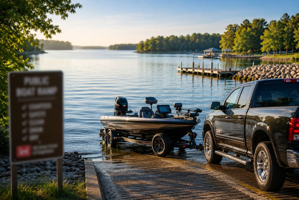
If you’re planning a day of fishing in Lake Hartwell, choosing the right ramp can make your whole trip smoother. The “best” ramp is usually the one that matches your plan: quick main-lake access, a protected launch when it’s windy, or an easy in-and-out for an early bite.
One Lake Hartwell reality to know up front: lake levels can change, and the U.S. Army Corps of Engineers advises anglers to inspect ramps carefully for usability and check current status before launching.
Below is a practical way to pick a public ramp, plus a shortlist of commonly used USACE access ramps that anglers rely on.
How to pick the “best” ramp for your fishing day
If you’re chasing stripers or open-water fish
If you’re targeting crappie, bream, or a relaxed bank-to-boat plan
If you’re arriving at peak times (weekends, holidays)
If you’re towing a larger boat
A short list of popular public ramps (USACE access areas)
Their published ramp list (used for lake-elevation/ending-elevation guidance) includes these well-known launch points:
Often-used ramps anglers start with
- Paynes Creek (inner)
- Big Oaks (left lane)
- Tabor
- Townville
- Poplar Spring (left ramp)
- Friendship (left lane)
- Broyles (right ramp)
- Stephens Co.
- Walker Creek
- Durham
- Apple Island, SC
How to use this list: pick 2–3 ramps that match where you want to fish (main lake vs creek arms), then choose your final ramp based on current ramp status and lake level.
The 3 things to check before you drive to the ramp
1) Ramp open/closed status
2) Water level and “ending elevation”
3) Which side of the lake you’ll fish (GA vs SC)
Even with reciprocity, specific regulations can differ depending on location and species, so it’s smart to confirm what applies to your plan.
Common ramp questions anglers ask
“Are all ramps free?”
“What if I get there and the ramp looks too shallow?”
That’s why it helps to have a “backup ramp” picked out before you leave home.